
Visual And Smart Ecohydrodynamics with Robotics (VASE-R): AI-assisted monitoring of flow, vegetation, bed morphology, and attenuation capability and uniformity
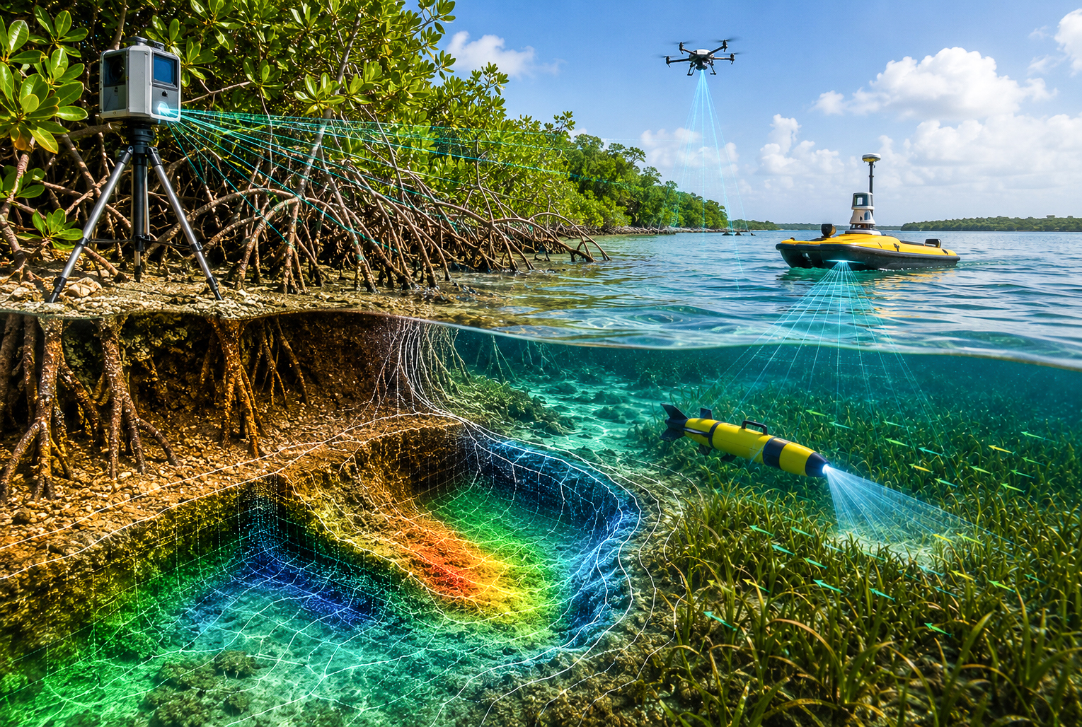
This project aims to develop a low-intrusion monitoring framework that combines targeted 3D mapping, laser-scanning, video-based flow estimates, mobile sensing and rapid modelling to detect hotspots and guide verification
While proven to work, nature-based and hybrid shorelines may provide uneven protection as vegetation and the seabed change or after an extreme event. Intermittent surveys may miss bare gaps, eroding patch edges, exposed structure toes and local scour. Monitoring also lacks practical thresholds that tell operators where to inspect and when to act.
Research Approach
- RGB-D cameras, LiDAR and AI-assisted segmentation will map bedforms and local scour at millimetre scale around vegetation.
- The project will estimate flow velocity and turbulence from vegetation movement, validating the video-based method against acoustic measurements.
- Repeatable surveys using nano-UAVs and small uncrewed surface vessels will extend coverage across difficult-to-access zones, with UUV support available for targeted underwater checks when needed. Rapid XBeach simulations will flag hotspots using indicators such as vegetation density, gap size, roughness, toe exposure and scour depth.
- Trigger metrics and workflows will be tested in laboratory and sheltered settings, then demonstrated at mangrove-revetment and perched-beach-seagrass pilot sites.
Why This Matters
- Directs costly, high-resolution inspections towards the locations most likely to need attention.
- Establishes practical measures of attenuation capability and how evenly protection is distributed along a shoreline.
- Standardises the path from post-event detection to targeted verification and action.
- Help operators address local areas for prioritised inspection before protective performance is further compromised.
Meet the Team
Meet the team behind the Spectral and Environmental Network for Tropical INtegrated Examination and Live monitoring (SENTINEL) project.

Co-Principal Investigator (PI):
Assistant Professor Gary Lei Jiarui
National University of Singapore,
Department of Civil and Environmental Engineering, College of Design and Engineering
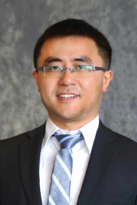
Co-Principal Investigator (PI):
Assistant Professor Fu Yuguang
National Technological University, School of Civil and Environmental Engineering
Download CFI's project booklet for more information on each project
CFI Singapore Tranche 1 and 2
If you wish to reach out regarding a specific project, please email CFI Singapore at cfisg@nus.edu.sg